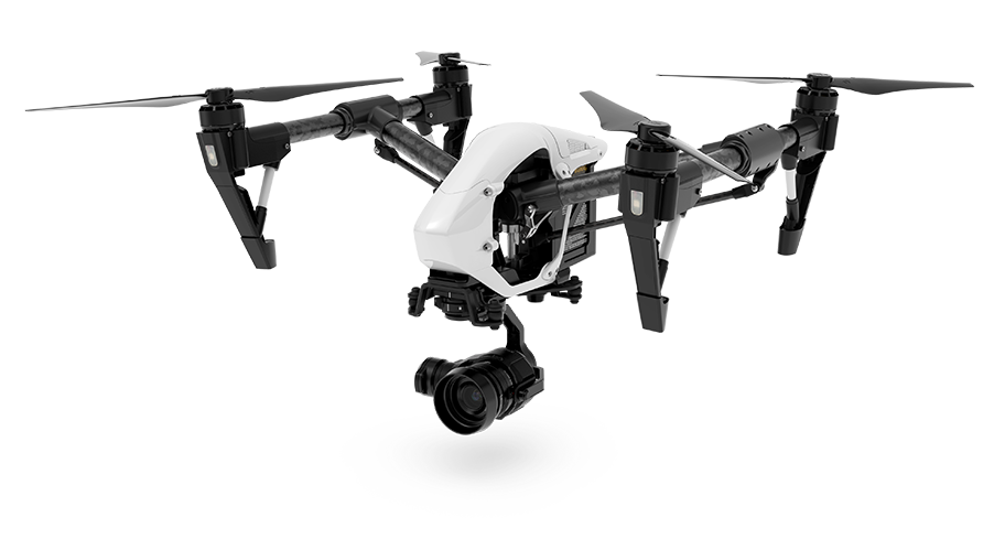
Inspections with drone for insurance surveys, damage estimation, video inspections
We carry out insurance surveys with drones for the estimation of the real damage.
The most modern photogrammetric and inspection technologies mark a significant step forward in the evaluation and estimation of the damages in the insurance field, allowing to obtain together images and reliable data for the surveys. In the specific context of the evaluation of crop damage, it is possible to prepare a report on the damage to the area under consideration through a multidimensional approach aimed at multi-level analysis through the use of our equipment.
The use of different photographic sensors makes it possible to make in a very quick time a primary evaluation through a normal RGB sensor and to create a geo-localized digital model (orthophotos) and if necessary also a point cloud and a 3D model of the area with a maximum accuracy of 1,5 cm/pixel, which is available for rapid evaluation and measurement of the amount of damage.
In addition to this, in the insurance field is very useful a RE-sensor inspection, which by acquiring data on the reflection of plants in the infrared spectrum allows to give a clear and reliable image of the state of chlorophyll in plants and to evaluate the state of growth, stress and health. Another inspection approach exploits the biomass NDVI index, thanks to the use of a NIR sensor (which derives information by detecting the near-infrared light band).
Water concentrations in the soil may also be identified in the event of floods. In most cases, the RGB and RE sensors should be sufficient for an effective assessment.

Drone inspections Insurance surveys

It is also possible to make surveys spaced in time to monitor the developments of the situation. Through the NDVI index you can also monitor growth and areas affected by pathogens. The drone used by us, in this type of surveys allows to make surveys up to 1000h in a single flight of 45 minutes, also thanks to the limited weight can fly even in areas considered “critical” by the ENAC regulations for the flight.
The data of the drone surveys are processed by Horus Dynamics in a very short time through a modern laboratory of geomatics and special software, even in less than 24/48h, depending on the size of the area concerned.
Check out our drone inspection services for insurance surveys. Contact us!
Drone insurance surveys.

